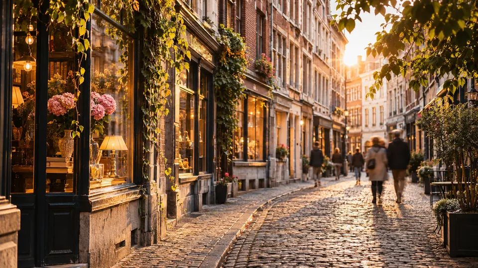
Brussels.
Brussels on foot: 18 places explained, 3 routes drawn on real streets, 5 districts and the essentials for getting around. Sources are cited on every page.
- 18
- places
- 3
- routes
- 5
- districts
The essentials
Numbers refer to the map of places


How we work
A guide to read while walking: every place has its story, every route follows real streets.
Where to stay
Recommended districts to stay within walking distance
- MarollenBooking.comHotels.com
- IxellesBooking.comHotels.com
- Saint-Gilles, BelgiumBooking.comHotels.com
- PentagonBooking.comHotels.com
- Northern QuarterBooking.comHotels.com
Partner links: via.city may earn a commission, at no extra cost to you.
Where to start
Distances measured along the line; times are walking time only, without visits.
Map of places


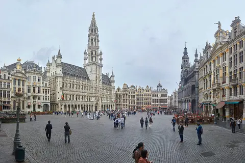
- 1Grand-PlaceSquares and streets
- 2Manneken PisMonuments
- 3Jeanneke PisMonuments
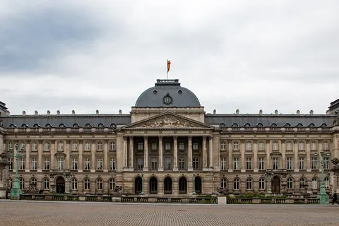
- 4Royal Palace of BrusselsMonuments
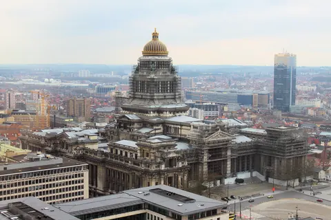
- 5Palace of JusticeMonuments
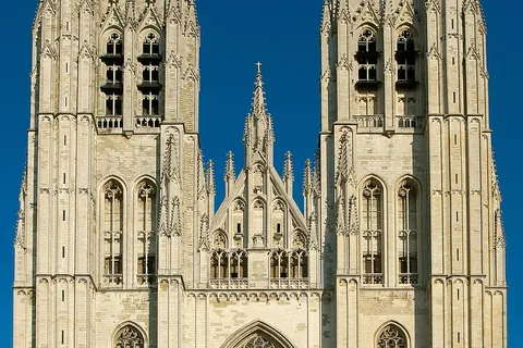
- 6Cathedral of St. Michael and St. GudulaChurches and chapels
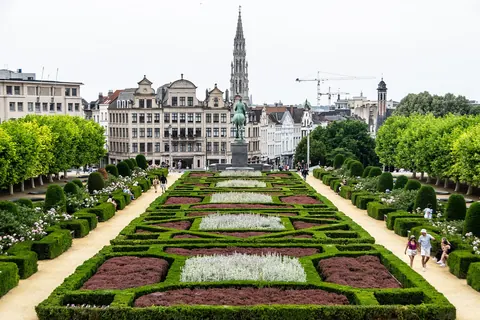
- 7Mont des ArtsViewpoints
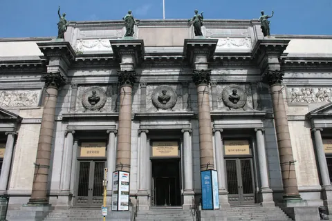
- 8Royal Museums of Fine Arts of BelgiumMuseums
- 9Magritte MuseumMuseums
- 10SablonSquares and streets
- 11Royal Saint-Hubert GalleriesMarkets
- 12Brussels ParkGardens
- 13CinquantenaireGardens
- 14Brussels Town HallMonuments
- 15Church of Our Lady of Victories at the SablonChurches and chapels
- 16Belgian Comic Strip CenterMuseums
- 17Brussels Stock ExchangeMonuments
- 18Halle GateWalls and towers
Districts
Marollen
The Marolles or Marollen is a popular historic neighbourhood of downtown Brussels, Belgium.
Ixelles
Ixelles or Elsene is one of the 19 municipalities of the Brussels-Capital Region, Belgium.
Saint-Gilles, Belgium
Saint-Gilles or Sint-Gillis is one of the 19 municipalities of the Brussels-Capital Region, Belgium.
Pentagon
The Pentagon or Brussels’ city centre is the historical city centre of Brussels, Belgium, within the contours of the Small Ring inner ring road.
Northern Quarter
The Northern Quarter is the central business district of Brussels, Belgium.
App in preparation
The Brussels guide has no app yet. Leave your address: a single message on the day it comes out.